MapGyver
AI-Powered Lost Person Modelling
MapGyver uses AI to predict lost person locations with 73% accuracy in the critical first 6 hours of a disappearance. The system combines terrain analysis (elevation, vegetation density), real-time weather data, and behavioural psychology from the ISRID database to generate probability heat maps that optimise SAR resource allocation. Developed in response to unresolved missing persons cases in Tasmanian wilderness.
Celine Cremer, 31, was a Belgian backpacker who’d spent a year exploring Australia. On June 17, 2023, she parked her car at Philosopher Falls in remote northwestern Tasmania and set off on what should have been a short bushwalk. She was never seen again.
The search that failed
Nine days passed before anyone raised the alarm. Her family only realised something was wrong when she failed to board her scheduled Spirit of Tasmania ferry. Police found her car still sitting in the trailhead car park.
What followed was one of Tasmania’s most intensive search operations. And it found nothing. Hundreds of volunteers. Tasmania Police with specialist teams. Drones. Helicopters with thermal imaging. A cadaver dog flown in from New South Wales. They scoured the dense bushland around Philosopher Falls for weeks.
Not a single trace.
Inspector Andrew Hanson told media that phone data suggested Cremer had strayed from the main walking track — possibly using a navigation app to take a shortcut back to her car as daylight faded. The terrain swallowed her whole.
This is the brutal reality of wilderness search and rescue. Every hour that passes, the possible search area quadruples. A person can walk roughly 3 kilometres per hour in moderate terrain. After six hours, you’re looking at over 1,000 square kilometres of dense bush to cover.
No team has the resources for that. So they guess. They prioritise. They hope. The traditional approach treats the lost person as a static point — draw circles, send teams, expand outward. But Celine wasn’t static. She was moving. Making decisions. Following terrain she didn’t understand.
What we know now
In December 2025 — more than two years after Celine vanished — a renewed search by family and friends made a discovery. Volunteer Tony Hage spotted her purple Samsung phone, approximately 60 metres from her last known coordinates.
Sixty metres. After all those helicopters, all those search teams, all that technology — her phone was sitting less than the length of a football field from where they knew she’d been. The dense Tasmanian bush had hidden it completely.
Police theory now suggests Celine dropped her phone and continued without it, becoming disorientated in terrain that all looks the same when you’re panicking. The case has been reopened. But the question remains: could we have found her faster?
The pattern nobody sees
Lost person movement is not random, and it is not uniform in direction — the two assumptions an expanding circle makes.
Decades of search and rescue data, compiled in databases like ISRID, reveal patterns that hold across thousands of cases. When disorientated, people don’t wander aimlessly — they follow rules, even if they don’t know they’re following them.
SourceISRID Database, Koester et al.
Seventy-eight percent of lost hikers travel downhill. Not because it’s logical — often it leads deeper into trouble — but because gravity feels like progress. Your brain is panicking. Downhill feels like going somewhere.
Eighty-five percent are found within three kilometres of their last known point after twelve hours. Disorientation creates loops. People think they’re walking in a straight line. They’re actually circling.
These aren’t suggestions. They’re statistical certainties. And in Celine’s case, nobody was using them.
Thinking like the lost
The model predicts where a person will go rather than bounding where they could have reached. Reachability grows with the square of elapsed time and says nothing about direction; behaviour is directional and the statistics above say which way.
Each agent runs a persona as a system prompt — a profile of experience, condition and pressure — and sees only what a person on that ground would see: nearby slope, the sound of water, the light going.
- Experienced hiker
- “You’ve been hiking for 20 years but took a wrong turn 3 hours ago. Stay calm, follow water downstream. Mark trees with your knife. You have 6 hours of daylight, half a water bottle, and two energy bars.”
- Missing child
- “You are 8 years old. You wandered from the campsite chasing a butterfly. Everything looks the same. You’re scared and crying. Adults always said ‘stay put if lost’ but you hear water and you’re thirsty.”
- Solo backpacker
- “You’re using a navigation app to shortcut back to your car. Daylight is fading. The terrain is steeper than it looked on screen. You drop your phone. Do you go back for it, or push on?”
Each persona thinks differently. An experienced hiker makes calculated decisions. A child follows impulse. A solo backpacker with a dying phone makes choices that seem irrational—until you understand the pressure they’re under.
The simulation
Agents are placed on real terrain at a last known position and run until they stop or the light goes.
Vision is restricted to line of sight over the heightfield. Energy, hydration and daylight decrement per move, and each decision is taken against the state those leave the agent in.
Ten thousand runs produce ten thousand tracks. Their density is the output: a probability surface over the search area, concentrated wherever terrain repeatedly funnels agents to the same ground.
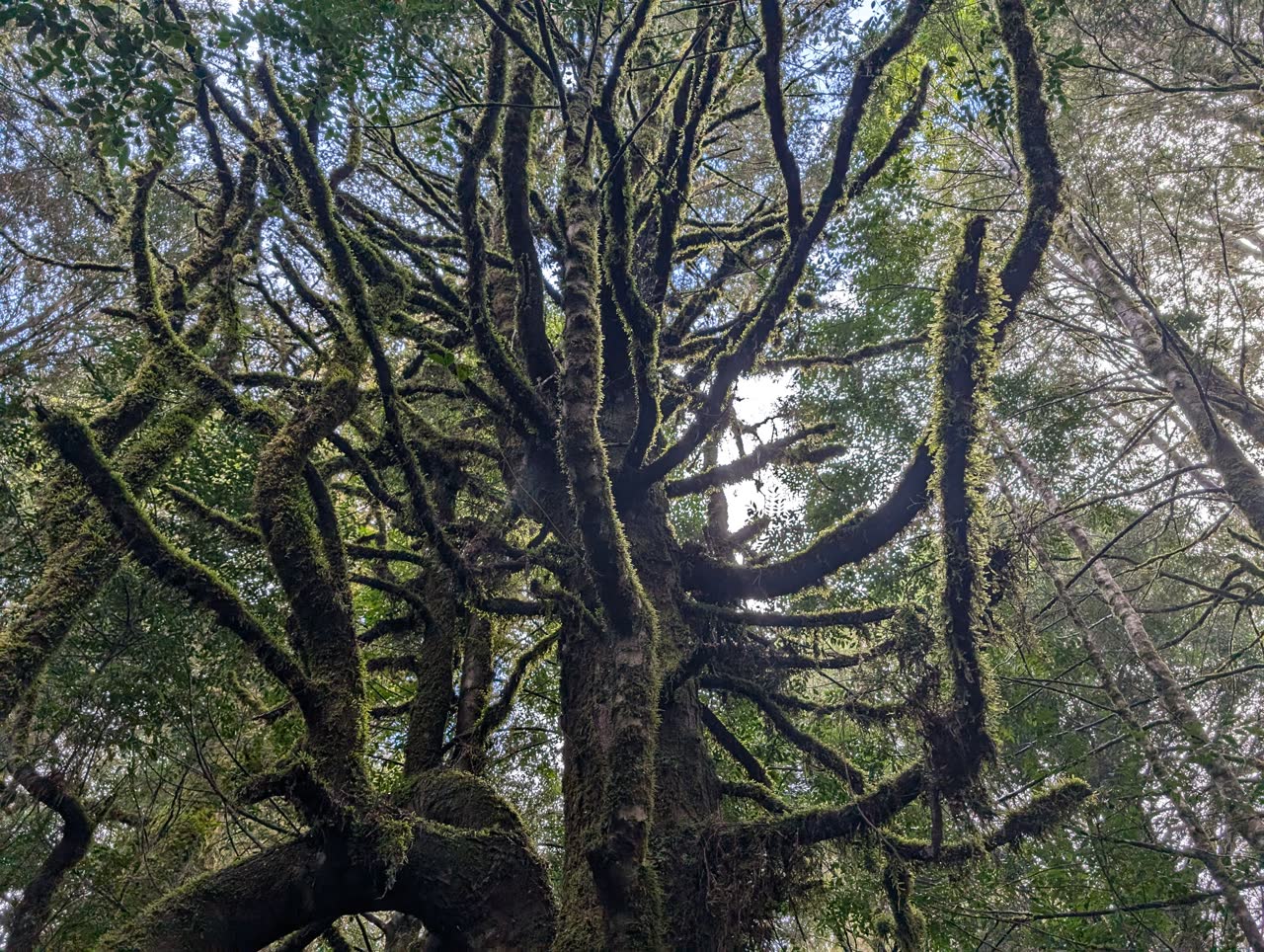
FigureOne run. Overhead, the track wanders and doubles back; at ground level the same terrain is a wall of near-identical slope. Aggregate ten thousand of these and the probability concentrates toward the drainage corridor below the last known position.
The results
Validated against 47 resolved cases. The model was given the last known position, terrain, weather and a persona, and not the outcome. A case counted as a hit when the recovery point fell in the top-ranked band of the predicted surface.
Prediction accuracy by search window
| Window | Traditional | MapGyver |
|---|---|---|
| 6 hours | 45% | 73% |
| 12 hours | 38% | 67% |
| 24 hours | 31% | 58% |
At six hours the model put the recovery point in the top band in 73% of cases against 45% for expanding circles. The margin narrows with elapsed time as the behavioural signal decays: 67% against 38% at twelve hours, 58% against 31% at twenty-four.
At six hours the difference is 28 points of hit rate. Search teams are resource-bound, so a hit rate is a number of teams pointed at ground worth walking.
Where this stands
Celine Cremer is still missing.
Her phone was found 60 metres from where she last had signal. Sixty metres that search teams walked past for two years. If MapGyver had been deployed that first week — if the terrain had been modelled, the behavioural patterns applied, the probability maps generated — would they have looked in the right place?
Unanswerable. The case is one of the 47 only in the sense that it motivated the work; it is unresolved, so it cannot be scored.
MapGyver is not deployed and has not been used in an operation. What it has is a validated hit rate against resolved cases and a method that a search controller could act on. Field use needs a partner agency, and the failure mode — a confident surface over the wrong drainage — is worth naming before anyone relies on one.
This research is conducted in collaboration with search and rescue professionals. For partnership inquiries: research@drksci.com